top of page

Mapping, Data Services
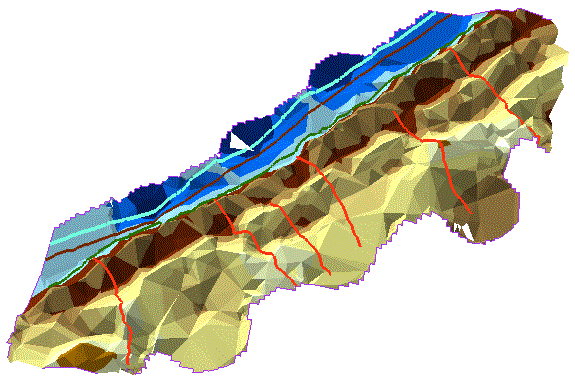
Using the process known as Photogrammetry, We can survey properties from above, stitching together images taken from the drones to create 3D surface models and terrain models (DEM). LIDAR is also available from drones, giving pinpoint accurate surveys of the area. Drones have greatly improved the efficiency of land surveying because the turnaround is much quicker than using a ground survey crew and the results are precise every time. Construction site elevations, beach erosion, flood plane mapping, traffic accident location details and farm field drainage are just some of the applications for this process.


bottom of page